PROJECT INFO
/ Project name: Kuwait Map
/ Permanent exhibit at Ahmad Al-Jaber Oil & Gas Exhibition, Kuwait
KEY FACTS
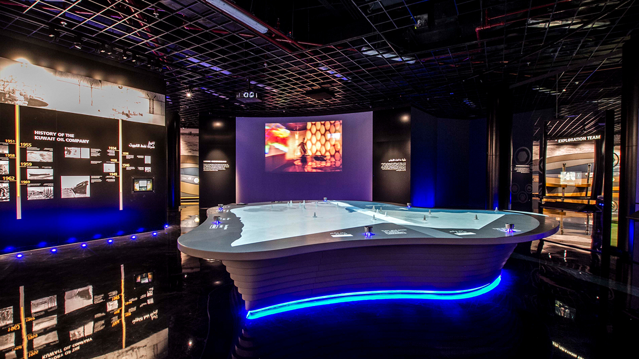
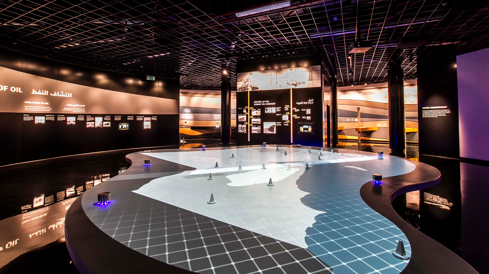
/ 2 x projectors, bespoke table, 18 physical markers
/ Target audience 8 – adult
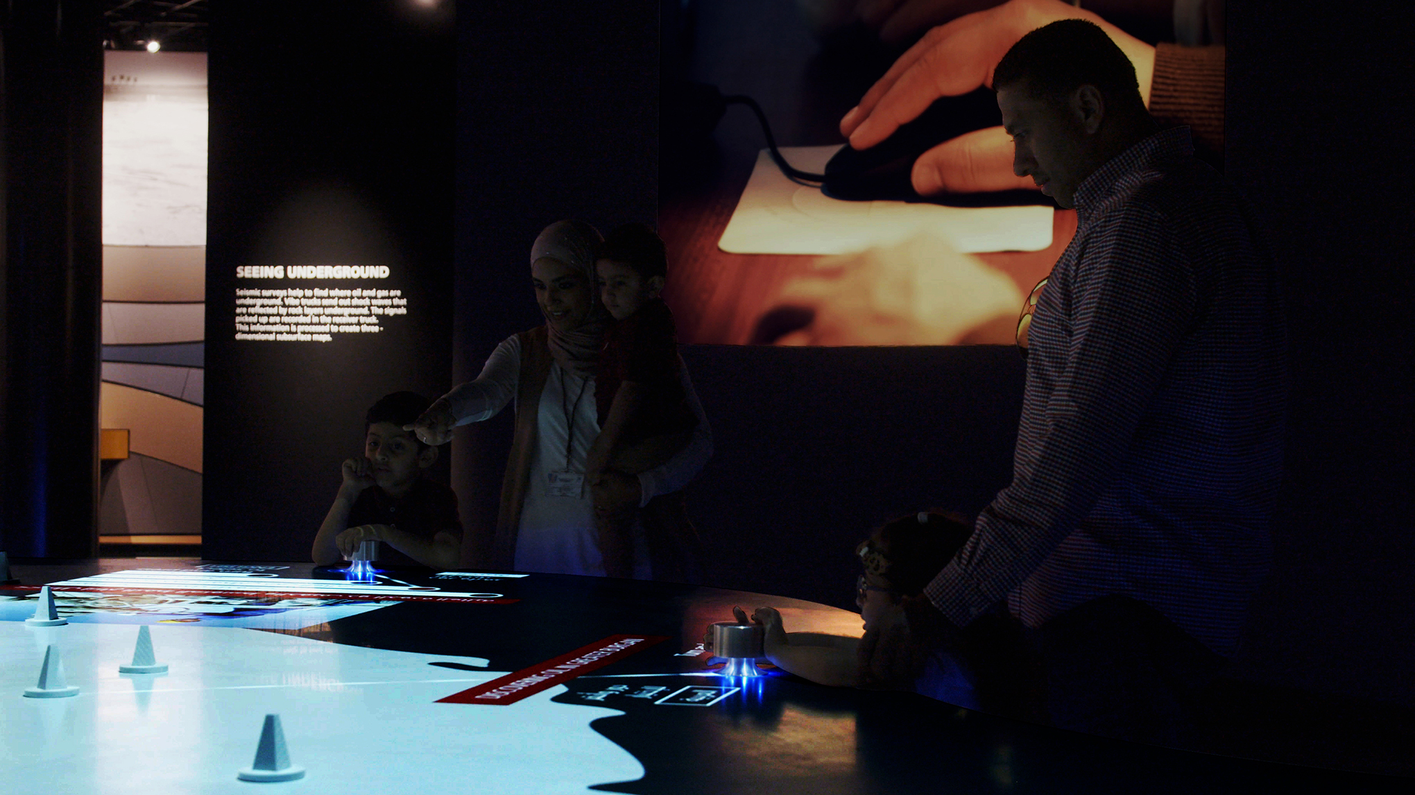
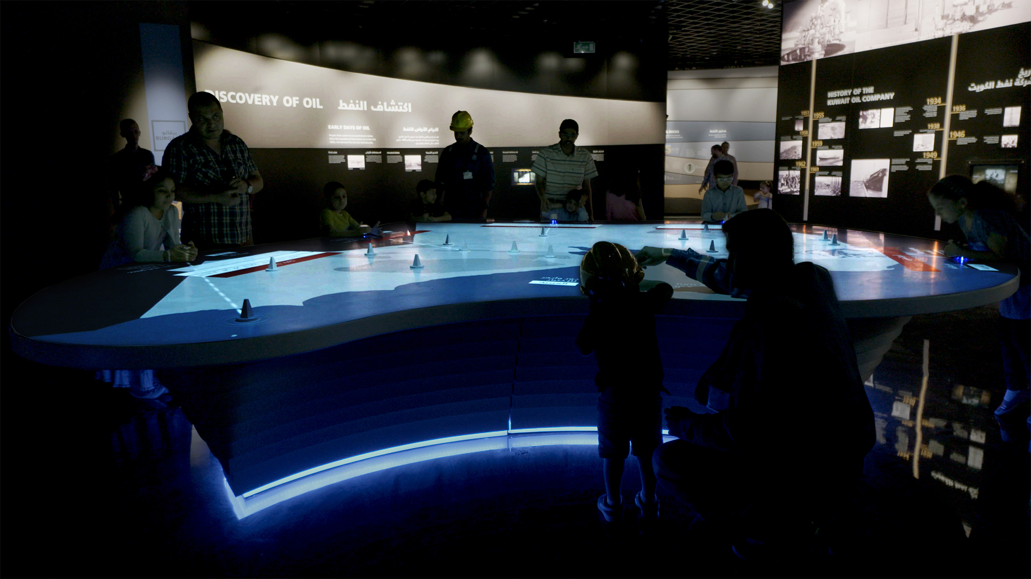
/ Up to 6 users can interact using the dials
/ Dual language (English and Arabic)
/ DDA compliant
RESPONSIBILITIES
/ Concept creation
/ Content research
/ UI
/ UX
/ Asset and content creation
/ Motion graphics
/ SFX creation
TOOLS
/ Photoshop
/ Illustrator
/ After Effects
BRIEF
An interactive map about Kuwait, allowing users to learn about its’ history and major gas and oil fields.
APPROACH
When I started working on this project, the outline style of the map was already fleshed out however the initial idea of the interactive needed revisiting due to hardware restrictions. Users interact with physical markers on the map by turning a dial: these are fixed. The projectors were far from the table therefore creating a faint visible pixel grid on the table. The UI needed to follow the pixel grid and type needed to be legible. Content needed to be created to explain complex geological phenomenons local to each field. High contrast colours were used to improve crispness.
RESULTS
The final table allowed for a smooth and spectacular experience. Users were excited to interact and discover Kuwait.


